The Wahbah Crater, which is actually a maar, offers perhaps the greatest contrast to the otherwise rather ‘green’ scenery of Taif.
The crater lies some 260 km north-northeast of Taif city centre in a deserted area on the border with the Province of Medina. Nevertheless, it is easily accessible by road; you do not need an off-road vehicle, 22.907483, 41.139118.
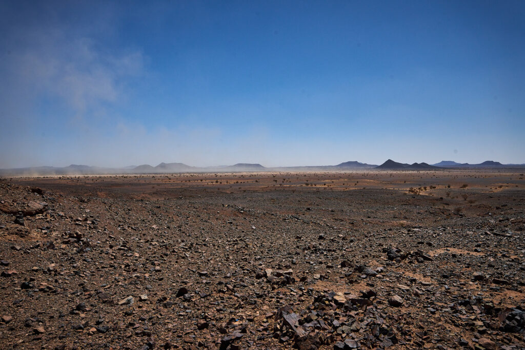
In the midst of a vast, barren, yet unique and incomparable plain, with chains of hills fading into the visible horizon, it suddenly lies before you: this imposing, mighty Wahbah Crater. Its slightly elliptical diameter is approximately 2.35 x 1.8 km, and its depth is around 250 m. A white salt ring, fraying outwards, adorns its floor. Surprisingly, a microclimate within it allows tufted grasses and small shrubs to thrive. It is the largest and most significant of several other craters in the vicinity, which are, however, inaccessible.
It is now believed that it was formed by (several) volcanic eruptions. Geologically speaking, this part of the country belongs to volcanic fields stretching from Yemen to northern Syria, which erupted on the crust of the Arabian Shield. These volcanic fields are called Harrats. The Wahbah Crater is part of the Harrat Kisbh.
From a small (unfortunately not always open) information centre, a path partly paved with granite stones leads to the crater rim and runs along it. This paved path allows you to take in the full view of the crater – and for safety’s sake, you should stay on it, although there is one rocky small path to the crater’s floor. Never go this path without a certified tour guide!